Laurelhurst is the peninsula sticking out into Union Bay, roughly between the University of Washington and Lake Washington. Until well into the 20th century it was a rural outpost reached mostly by boat from Madison Park. That's hard to envision given the prosperous, well-manicured residential neighborhood it has become.
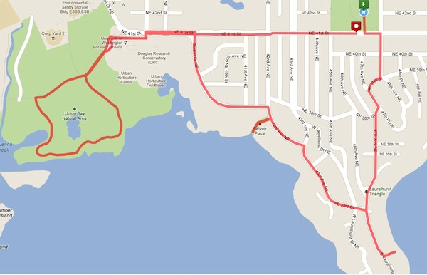
This route uncovers some very cool Seattle stairs. One stairway leads you down to a secluded and historically significant shoreline. Another one appears just around the bend of a driveway, only to dive irresistably down a leafy Laurel tunnel. The main route provides superb views across Lake Washington toward Kirkland and Bellevue as it explores the eastern side of the peninsula. An optional side trip takes you over to the western side, for views across the water to Husky Stadium and the Arboretum before turning around at magnificent Union Bay Natural Area.
For more about Laurelhurst's fascinating history, try these links: HistoryLink.org; The Laurelhurst Blog; and Friends of Waterway 1. For info on Seattle's program for its 149 shoreline street-ends, click here.
The "www" icons indicate where you'll find pictures and other content that are referenced in the book. Additional (unmarked) pictures show even more scenes you'll find along this route.
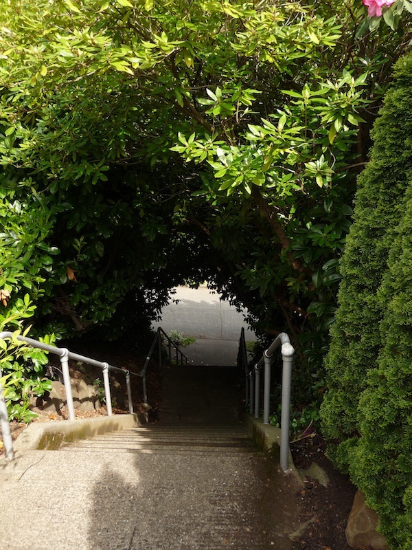 Diving down into a Laurel tunnel at the "Hidden Stairs"

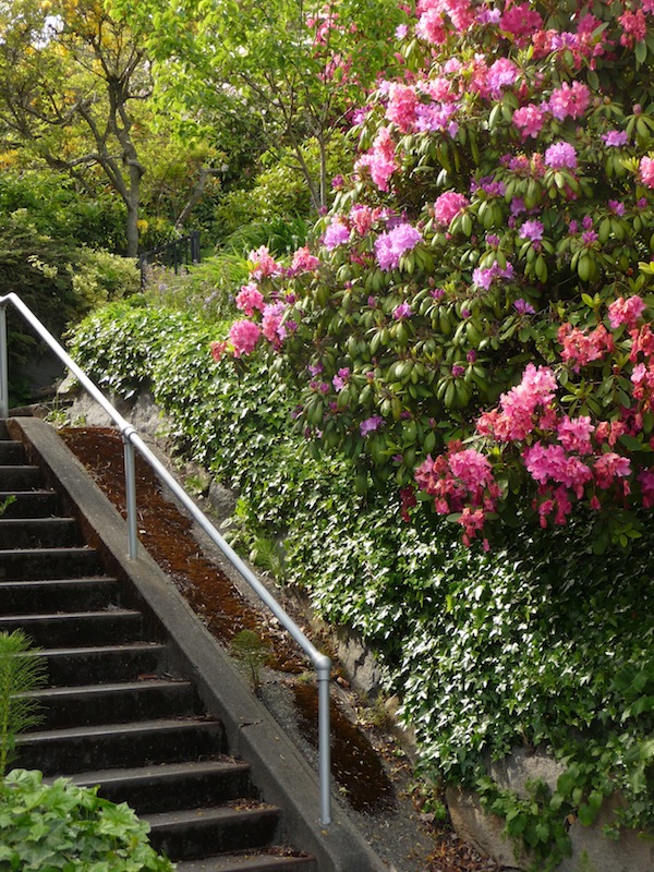 Starting up the NE 42nd Street stairs

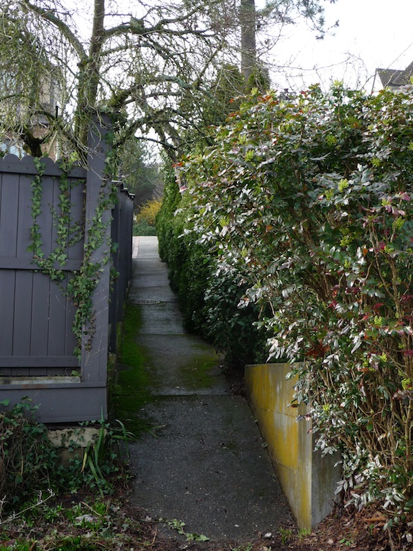 Optional walk: looking back on the narrow lakeside access, between two driveways at the street
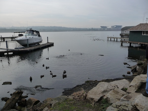 Shoreline view from "Waterway 1," Husky Stadium in background
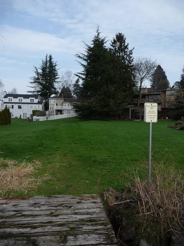 Looking back toward the Belvoir Park entrance, from lakeside
Belvoir Park is located in the Belvoir Subdivision, developed by "Uncle Joe" Surber, who was also King County's first sheriff. As you walk along NE Surber Drive you'll glimpse Yesler Cove just beyond the trees. This is the eastern edge of the Union Bay Natural Area, which extends west as far as the UW campus.
The Center For Urban Horticulture (CUH) is the first thing you'll see as you approach the Union Bay Natural Area (it's pictured at the top of this posting). The CUH is a research station of the UW Botanic Gardens, and it's a beautiful architectural and garden space too. The garden area is colorful and full of texture, and everything is well-labeled. If you plan a picnic, there are benches and other places to sit, and there's plenty of grassy space around the Union Bay side of the complex.